2006
NT2748 : Gate, Brown Dod
taken 18 years ago, 3 km from Eddleston, Scottish Borders, Scotland
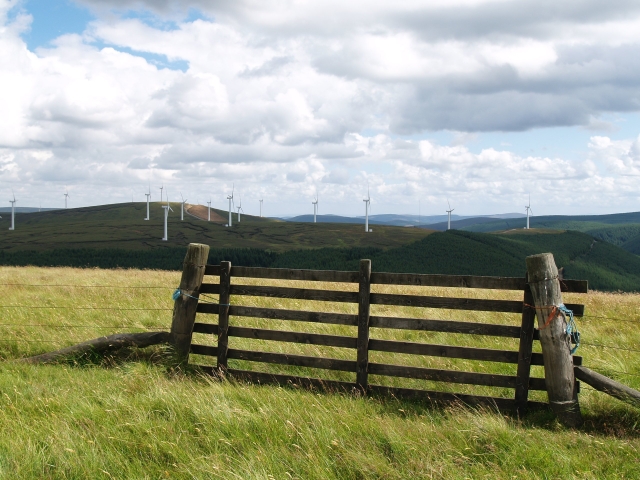
Gate, Brown Dod
The highest point of this rather flat extension to Dundreich, the OS 1:25000 wrongly ascribes a contour of 490m at this point - this should be 600m. Looking across to the Bowbeat windfarm.
 Map © Crown Copyright")
TIP: Click the map for more Large scale mapping
- Grid Square
- NT2748, 17 images (more nearby 🔍)
- Photographer
- Chris Eilbeck (more nearby)
- Date Taken
- Sunday, 30 July, 2006 (more nearby)
- Submitted
- Monday, 31 July, 2006
- Subject Location
-
OSGB36:
 NT 2731 4834 [10m precision]
WGS84: 55:43.3800N 3:9.5281W - View Direction
- Southeast (about 135 degrees)