1991
NN2952 : Rannoch Moor
taken 33 years ago, near to Allt Maol Ruainidh [water Feature], Highland, Great Britain
This is 1 of 8 images, with title Rannoch Moor in this square
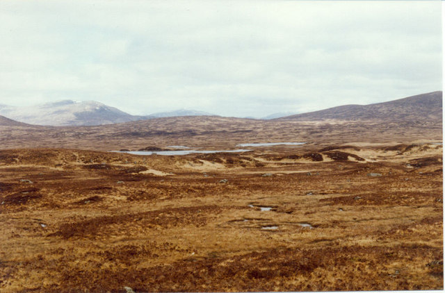
Rannoch Moor
 Map © Crown Copyright")
TIP: Click the map for more Large scale mapping
- Grid Square
- NN2952, 19 images (more nearby 🔍)
- Photographer
- Sarah Charlesworth (more nearby)
- Date Taken
- Saturday, 13 April, 1991 (more nearby)
- Submitted
- Friday, 29 October, 2010
- Subject Location
-
OSGB36:
 NN 293 523 [100m precision]
WGS84: 56:37.9130N 4:47.0320W - Camera Location
-
OSGB36: NN 290 523
- View Direction
- EAST (about 90 degrees)