2006
NY3848 : Farmland between Gaitsgill and Dalston
taken 18 years ago, near to Buckabank, Cumbria, England
This is 1 of 2 images, with title Farmland between Gaitsgill and Dalston in this square
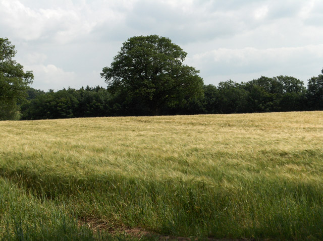
Farmland between Gaitsgill and Dalston
Barley to the west of the track.
 Map © Crown Copyright")
TIP: Click the map for more Large scale mapping
- Grid Square
- NY3848, 9 images (more nearby 🔍)
- Photographer
- Andrew Smith (more nearby)
- Date Taken
- Wednesday, 26 July, 2006 (more nearby)
- Submitted
- Friday, 4 August, 2006
- Subject Location
-
OSGB36:
 NY 381 481 [100m precision]
WGS84: 54:49.4340N 2:57.8976W - View Direction
- SOUTH (about 180 degrees)