2010
TQ4210 : Looking down on Lewes
taken 13 years ago, near to Lewes, East Sussex, England
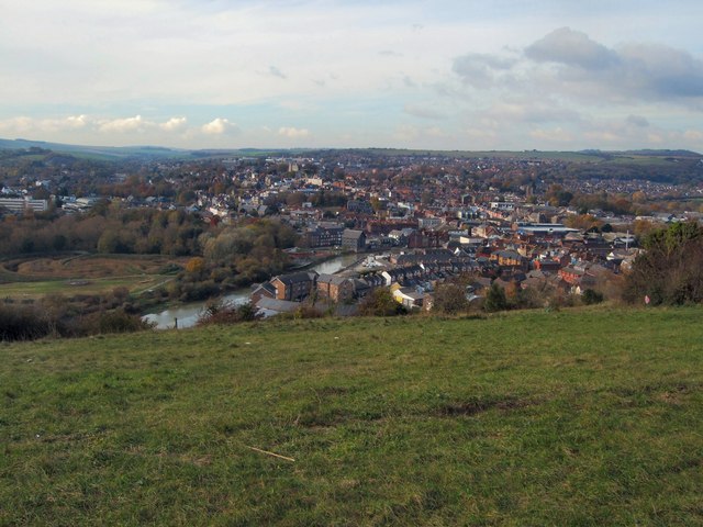
Looking down on Lewes
From the east of the town in the Cuilfail area
 Map © Crown Copyright")
TIP: Click the map for more Large scale mapping
- Grid Square
- TQ4210, 386 images (more nearby 🔍)
- Photographer
- Paul Gillett (more nearby)
- Date Taken
- Sunday, 7 November, 2010 (more nearby)
- Submitted
- Sunday, 7 November, 2010
- Subject Location
-
OSGB36:
 TQ 423 102 [100m precision]
WGS84: 50:52.4273N 0:1.2671E - Camera Location
-
OSGB36: TQ 425 100
- View Direction
- West-northwest (about 292 degrees)