2010
SE9852 : Levelled Crossing
taken 13 years ago, near to Bainton, East Riding of Yorkshire, England
Levelled Crossing
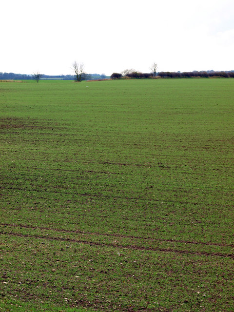
This is the former trackbed of the Driffield to Market Weighton railway. There's no sign of it now. I think the railway was closed in the very early 1960s (I have a very early recollection, as a three year old, of a steam train working hard up this inclined section).
Over the last fifty years, the farmer has ploughed more and more of the trackbed, so it's now totally unrecognisable as such.
Over the last fifty years, the farmer has ploughed more and more of the trackbed, so it's now totally unrecognisable as such.
 Map © Crown Copyright")
TIP: Click the map for more Large scale mapping
- Grid Square
- SE9852, 37 images (more nearby 🔍)
- Photographer
- Andy Beecroft (more nearby)
- Date Taken
- Monday, 22 November, 2010 (more nearby)
- Submitted
- Tuesday, 23 November, 2010
- Subject Location
-
OSGB36:
 SE 982 522 [100m precision]
WGS84: 53:57.3937N 0:30.2138W - Camera Location
-
OSGB36: SE 985 525
- View Direction
- Southwest (about 225 degrees)