2010
TQ8766 : High Oak Lane
taken 13 years ago, near to Bobbing, Kent, England
This is 1 of 2 images, with title High Oak Lane in this square
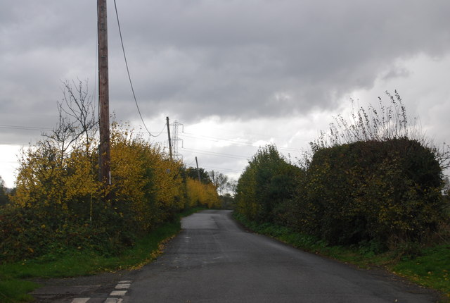
High Oak Lane
The route of Cycleway 1.
National Cycle Network Route 1
National Route 1 of the National Cycle Network is a long distance cycle route connecting Dover and the Shetland Islands mainly via the east coast of England and Scotland. The route is all signed and open except between London and Woodbridge (in Suffolk) and between Whitby and Staithes (in Yorkshire).
 Map © Crown Copyright")
TIP: Click the map for more Large scale mapping
- Grid Square
- TQ8766, 39 images (more nearby 🔍)
- Photographer
- N Chadwick (more nearby)
- Date Taken
- Saturday, 30 October, 2010 (more nearby)
- Submitted
- Thursday, 25 November, 2010
- Subject Location
-
OSGB36:
 TQ 876 665 [100m precision]
WGS84: 51:22.0427N 0:41.6253E - Camera Location
-
OSGB36: TQ 876 666
- View Direction
- South-southwest (about 202 degrees)