2010
SX7038 : Track to Malborough
taken 13 years ago, near to Malborough, Devon, England
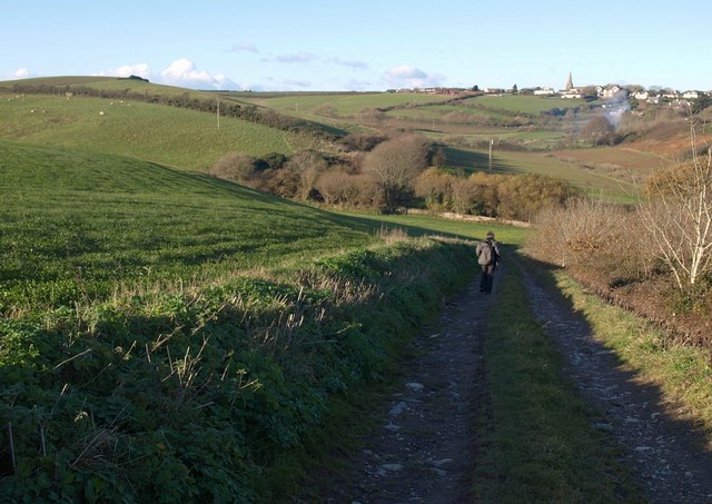
Track to Malborough
Malborough Footpath 10 descends towards Portlemore Barton, in the valley southeast of Malborough, whose church SX7039 is in the background.
 Map © Crown Copyright")
TIP: Click the map for more Large scale mapping
- Grid Square
- SX7038, 23 images (more nearby 🔍)
- Photographer
- Derek Harper (more nearby)
- Date Taken
- Thursday, 25 November, 2010 (more nearby)
- Submitted
- Tuesday, 30 November, 2010
- Subject Location
-
OSGB36:
 SX 709 389 [100m precision]
WGS84: 50:14.1578N 3:48.6966W - Camera Location
-
OSGB36: SX 7096 3891
- View Direction
- North-northwest (about 337 degrees)