2010
NS3781 : Upper Stoneymollan Road
taken 14 years ago, near to Balloch, West Dunbartonshire, Scotland
This is 1 of 4 images, with title Upper Stoneymollan Road in this square
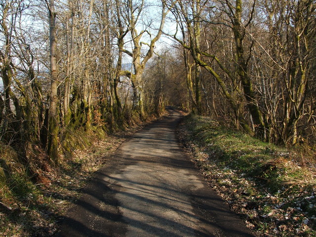
Upper Stoneymollan Road
This section of road leads downhill from a NS3781 : Gate on the Stoneymollan Road, and provides vehicular access to Upper Stoneymollan Farm. It also forms part of a much longer heritage route; that route, as a whole, is called the Stoneymollan Road.
Compare the similar NS3781 : Upper Stoneymollan Road, taken after snowfall.
Compare the similar NS3781 : Upper Stoneymollan Road, taken after snowfall.
The Stoneymollan Road :: NS3681
This route from Balloch to the clachan of Kirkton was an old coffin road (see Link
for more details); its destination was the burial ground at St Mahew's Chapel Link near Cardross. The eastern part of this old road lies upon one of several parallel ridges; the underlying geology must therefore have played an important role in determining its course.
 Map © Crown Copyright")
TIP: Click the map for more Large scale mapping
- Grid Square
- NS3781, 26 images (more nearby 🔍)
- Photographer
- Lairich Rig (more nearby)
- Date Taken
- Monday, 12 April, 2010 (more nearby)
- Submitted
- Sunday, 12 December, 2010
- Subject Location
-
OSGB36:
 NS 3745 8172 [10m precision]
WGS84: 56:0.0476N 4:36.4923W - Camera Location
-
OSGB36: NS 3740 8172
- View Direction
- EAST (about 90 degrees)