2010
TQ8224 : Stile, Sussex Border Path, Northiam
taken 13 years ago, near to Northiam, East Sussex, England
This is 1 of 2 images, with title Stile, Sussex Border Path, Northiam in this square
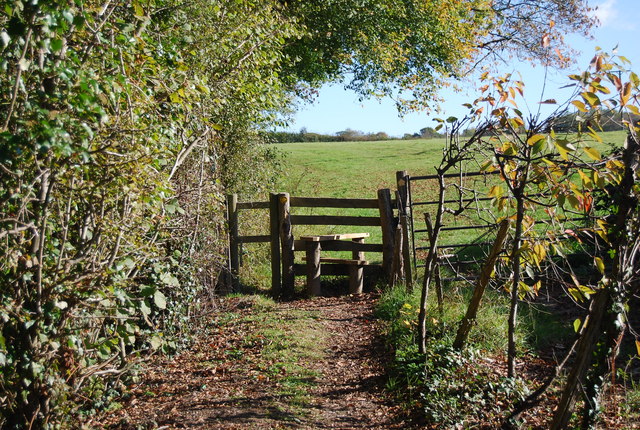
Stile, Sussex Border Path, Northiam
The Sussex Border Path is a footpath route nearly 150 miles long around the inland boundary of the county of Sussex. The county owes its origins to the kingdom of the South Saxons and can claim to have one of the longest inland county boundaries from Emsworth to Rye. The route was devised in 1983 and is well signed along most of the route. Website Link
Map: Link
See other images of Sussex Border Path
Map: Link
See other images of Sussex Border Path
 Map © Crown Copyright")
TIP: Click the map for more Large scale mapping
- Grid Square
- TQ8224, 216 images (more nearby 🔍)
- Photographer
- N Chadwick (more nearby)
- Date Taken
- Monday, 25 October, 2010 (more nearby)
- Submitted
- Tuesday, 14 December, 2010
- Subject Location
-
OSGB36:
 TQ 821 242 [100m precision]
WGS84: 50:59.3509N 0:35.6561E - Camera Location
-
OSGB36: TQ 821 242
- View Direction
- East-northeast (about 67 degrees)