1996
TR0164 : Oare Harty Ferry Point & Isle of Sheppey
taken 28 years ago, near to Uplees, Kent, England
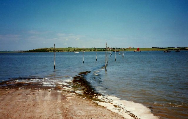
Oare Harty Ferry Point & Isle of Sheppey
 Map © Crown Copyright")
TIP: Click the map for more Large scale mapping
- Grid Square
- TR0164, 208 images (more nearby 🔍)
- Photographer
- Roger Smith (more nearby)
- Date Taken
- Thursday, 13 June, 1996 (more nearby)
- Submitted
- Monday, 27 December, 2010
- Subject Location
-
OSGB36:
 TR 012 648 [100m precision]
WGS84: 51:20.8028N 0:53.3407E - Camera Location
-
OSGB36: TR 012 647
- View Direction
- NORTH (about 0 degrees)