2011
TM0893 : Poultry houses at Airfield Chicken Farm
taken 13 years ago, 3 km from Bunwell, Norfolk, England
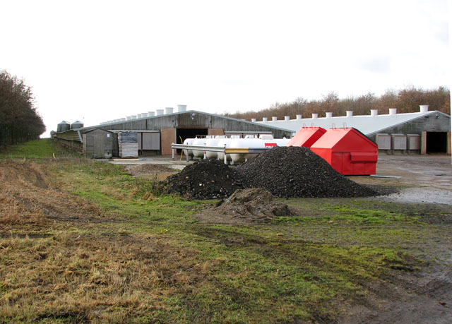
Poultry houses at Airfield Chicken Farm
This area once formed part of the WWII airfield at Old Buckenham, part of which has since been returned to agricultural use.
RAF Old Buckenham (USAAF Station 144)
RAF Old Buckenham was opened in 1943 as an operational bomber station for use by the USAAF and during the war it was home to the 453rd Bomb Group. The airfield has three runways, two T2 hangars and a watch office. The control tower was demolished in 1970. After the war the airfield was used by non-flying RAF maintenance units until it was sold off in 1964 and returned to agricultural use. During the 1970s and 80s it was used by crop-spraying aircraft and presently the 100 acre site is a private airfield that is often described as being one of the most friendly airfields in East Anglia. The airfield also hosts the Norfolk Air Show, an annual event with military and flying displays. See also: Link
 Map © Crown Copyright")
TIP: Click the map for more Large scale mapping
- Grid Square
- TM0893, 27 images (more nearby 🔍)
- Photographer
- Evelyn Simak (more nearby)
- Date Taken
- Sunday, 2 January, 2011 (more nearby)
- Submitted
- Monday, 3 January, 2011
- Subject Location
-
OSGB36:
 TM 087 939 [100m precision]
WGS84: 52:30.1823N 1:4.4086E - Camera Location
-
OSGB36: TM 087 939
- View Direction
- Southwest (about 225 degrees)