J4586 : Dredging the River Lagan, Belfast - 2010/11 (105)
taken 13 years ago, 3 km from Eden, Co Antrim, Northern Ireland
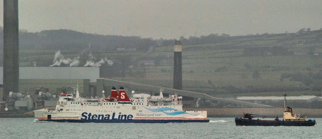
Work is about to start on the dredging of the River Lagan downstream of the Stranmillis weir. According to an official statement The £2.8m contract, awarded to local firm Graham Construction, will see dredging on the river for the first time since 1994 . . . It will start mid-September and is due to finish spring 2011. The work involves thousands of tonnes of silt being removed by diggers and disposed off at an approved location out at sea. The river will be initially closed to navigation for safety reasons during the period of the contract. However, after consultation with river users the works will be completed on a sectional basis with the first section being handed over to river users after six weeks. The last dredging contract was in 2002 J3474 : Dredging barges, River Lagan, Belfast (2).
- Grid Square
- J4586, 3 images (more nearby 🔍)
- Photographer
- Albert Bridge (more nearby)
- Date Taken
- Wednesday, 12 January, 2011 (more nearby)
- Submitted
- Wednesday, 12 January, 2011
- Subject Location
-
Irish:
 J 4523 8687 [10m precision]
WGS84: 54:42.5335N 5:44.8496W - Camera Location
-
Irish: J 4579 8339
- View Direction
- NORTH (about 0 degrees)