2005
TQ8554 : High Wood from Greenway Court Farm
taken 19 years ago, near to Hollingbourne, Kent, England
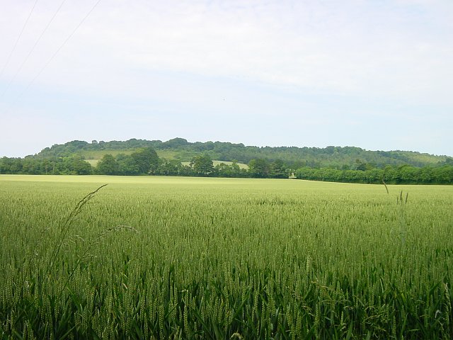
High Wood from Greenway Court Farm
The line of trees before the rise in the land marks the course of the Pilgrims' Way. Much of High Wood shown in the upper left of the photo is in fact in the next northerly square. The crop is wheat.
 Map © Crown Copyright")
TIP: Click the map for more Large scale mapping
- Grid Square
- TQ8554, 48 images (more nearby 🔍)
- Photographer
- Penny Mayes (more nearby)
- Date Taken
- Monday, 27 June, 2005 (more nearby)
- Submitted
- Wednesday, 29 June, 2005
- Subject Location
-
OSGB36:
 TQ 854 545 [100m precision]
WGS84: 51:15.6026N 0:39.3648E - Camera Location
-
OSGB36: TQ 850 542
- View Direction
- Northeast (about 45 degrees)