2011
TQ4265 : Lake south of Hollydale Recreation Grounds
taken 13 years ago, near to Keston, Bromley, England
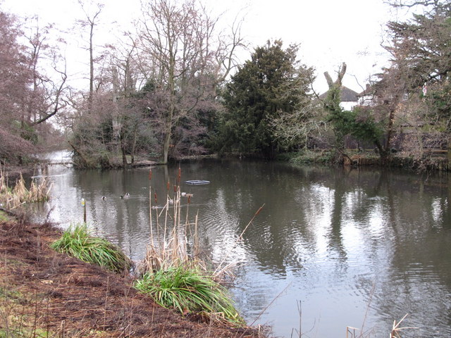
Lake south of Hollydale Recreation Grounds
The water flows northwards out of the lake, but there seems to be no evidence on either the map or the satellite image Link of where it might go to.
 Map © Crown Copyright")
TIP: Click the map for more Large scale mapping
- Grid Square
- TQ4265, 72 images (more nearby 🔍)
- Photographer
- Mike Quinn (more nearby)
- Date Taken
- Tuesday, 11 January, 2011 (more nearby)
- Submitted
- Wednesday, 26 January, 2011
- Subject Location
-
OSGB36:
 TQ 423 652 [100m precision]
WGS84: 51:22.1302N 0:2.6136E - Camera Location
-
OSGB36: TQ 423 652
- View Direction
- North-northeast (about 22 degrees)