NS7480 : Kilsyth Hills, Craigdoufie Burn
taken 13 years ago, near to High Banton, North Lanarkshire, Scotland
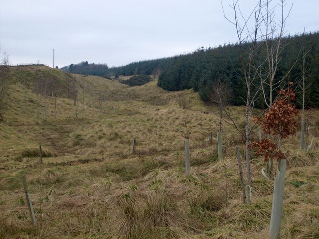
The Craigdouffie Burn has over the ages been diverted and had water taken from it in at least two known locations. It also has the distinction of having two contributing streams both named as 'Craigdouffie' by the Ordnance Survey on its Landranger (1:50000) and Explorer (1:25000) maps. One (the western) tributary of the burn rises in boggy ground at NS739809 approx. 550m ESE of the viewpoint car park on the Tak Ma Doon Road, north of Kilsyth. Another (the eastern) tributary rises from a spring in a hollow at NS 751 807 approx. 175m SE of the ruins of Craigdouffie farm.
The two contributory streams both flow east before turning south - never being more than 300m apart - to NS 754 797 approx. 180m SW of Binniemyre steading where they join to become the main burn. The Craigdouffie then flows SW for approx. 750m to the point NS 748 793 just off the Main Street of Banton where it falls into the Banton Burn. From its highest rise in the Kilsyth Hills to the confluence at Banton - a distance of 3km, the (western) burn descends some 180m, in addition the eastern tributary has a course of almost 1.5km with a descent of 103m to the confluence.
 Map © Crown Copyright")
- Grid Square
- NS7480, 49 images (more nearby 🔍)
- Photographer
- Robert Murray (more nearby)
- Date Taken
- Saturday, 29 January, 2011 (more nearby)
- Submitted
- Monday, 31 January, 2011
- Subject Location
-
OSGB36:
 NS 748 807 [100m precision]
WGS84: 56:0.1924N 4:0.5475W - Camera Location
-
OSGB36: NS 749 807
- View Direction
- WEST (about 270 degrees)