2011
SP1760 : Undulating field east of Ash Lane, Bearley
taken 13 years ago, near to Bearley, Warwickshire, England
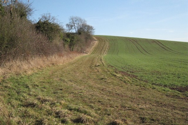
Undulating field east of Ash Lane, Bearley
The wooded estatelands is a well-wooded agricultural landscape of large arable fields and prominent hilltop woodlands. In most places the large-scale undulating topography is the dominant element in the landscape, particularly where the pattern of field and hedgerow trees has become more fragmented. In these open areas woodlands become more visually prominent and together with the landform define the scale of the landscape. Where field pattern is still reasonably intact the scale is usually reduced and filtered views through the landscape are more common.
The largest [area of wooded estatelands in Warwickshire] is a broad belt of countryside stretching from Warwick to Alcester [continuing south of Redditch into Worcestershire] along the northern fringe of the Avon valley. This is a landscape of mixed farmland and medium to large sized fields where the characteristic dispersed Arden settlement pattern gives way to one of small nucleated villages [not unlike the Felden south of the Avon]. These retain a semblance of rural character but mostly now function as dormitory settlements for nearby towns. [Small residential developments, barn conversions and farmhouse modernisations continue to take place]. Large woodlands and mature hedgerow oaks remain a feature in the landscape, especially in the Arrow valley and on the hills around Bearley. The scarp woodlands to the south and east of Haselor form particularly prominent landscape features. Ancient deerparks are recorded at Ragley, Coughton, Wootton Wawen and Fulbrook. True parkland survives only at Ragley, but these areas still retain an ancient wooded character. Elsewhere parkland and associated estatelands, characterised by plantation woods and belts of trees, are a feature at Studley, Edstone, Sherbourne and Grove Park.
From Warwickshire Landscapes Guidelines: Arden, Warwickshire County Council, 1993.
See other images of Wooded estatelands of southern Arden
 Map © Crown Copyright")
TIP: Click the map for more Large scale mapping
- Grid Square
- SP1760, 40 images (more nearby 🔍)
- Photographer
- Robin Stott (more nearby)
- Date Taken
- Thursday, 3 February, 2011 (more nearby)
- Submitted
- Sunday, 6 February, 2011
- Subject Location
-
OSGB36:
 SP 179 602 [100m precision]
WGS84: 52:14.3821N 1:44.3570W - Camera Location
-
OSGB36: SP 179 602
- View Direction
- East-southeast (about 112 degrees)