2010
TQ8953 : Pilgrims' Way
taken 13 years ago, near to Lenham, Kent, England
This is 1 of 5 images, with title Pilgrims' Way in this square
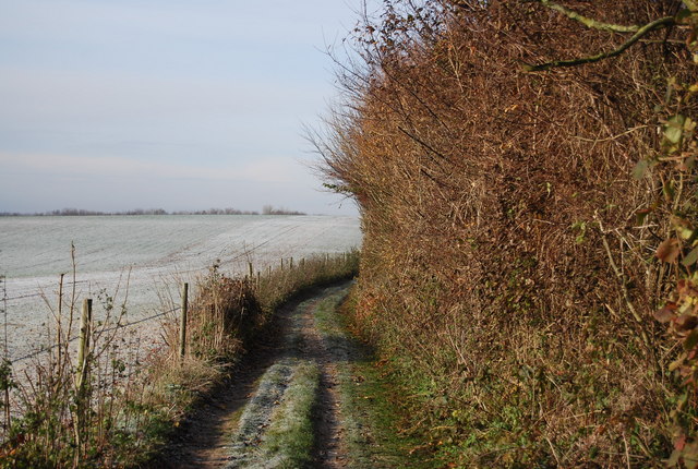
Pilgrims' Way
A 120 mile route from Winchester to Canterbury, followed by mediaeval pilgrims, heading for Thomas Becket's tomb. The route follows a pre-historic trackway dated to 500BC. The Pilgrims' Way is not a designated long distance footpath, but it can be followed as most of it is roads today. It follows the lower slopes of the North Downs escarpment, carefully avoiding the steep slopes above and the sticky clay below. More information is available at Link
See other images of Pilgrims' Way
See other images of Pilgrims' Way
 Map © Crown Copyright")
TIP: Click the map for more Large scale mapping
- Grid Square
- TQ8953, 29 images (more nearby 🔍)
- Photographer
- N Chadwick (more nearby)
- Date Taken
- Sunday, 28 November, 2010 (more nearby)
- Submitted
- Monday, 7 February, 2011
- Subject Location
-
OSGB36:
 TQ 895 530 [100m precision]
WGS84: 51:14.6914N 0:42.8546E - Camera Location
-
OSGB36: TQ 895 530
- View Direction
- West-northwest (about 292 degrees)