2011
SD8100 : River Irwell, Lower Kersal
taken 13 years ago, near to Broughton, Salford, England
This is 1 of 4 images, with title River Irwell, Lower Kersal in this square
River Irwell, Lower Kersal
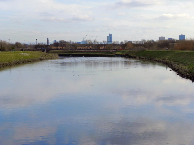
Looking downstream from SD8100 : The Jubilee Footbridge, towards Manchester.
River Irwell
The River Irwell rises on the Rossendale hills north of Bacup and flows south for 39 miles before joining the River Mersey west of Manchester. It was a very important river in the development of industry, during the Industrial revolution, in Lancashire.
Wikipedia: Link
 Map © Crown Copyright")
TIP: Click the map for more Large scale mapping
- Grid Square
- SD8100, 62 images (more nearby 🔍)
- Photographer
- David Dixon (more nearby)
- Date Taken
- Thursday, 24 February, 2011 (more nearby)
- Submitted
- Friday, 25 February, 2011
- Subject Location
-
OSGB36:
 SD 815 004 [100m precision]
WGS84: 53:30.0198N 2:16.7674W - Camera Location
-
OSGB36: SD 811 005
- View Direction
- East-southeast (about 112 degrees)