2011
TM3864 : Rosemary Lane, Carlton
taken 13 years ago, near to Kelsale, Suffolk, England
This is 1 of 2 images, with title Rosemary Lane, Carlton in this square
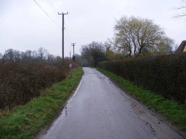
Rosemary Lane, Carlton
Looking towards the B1121 Main Road & near the footpath to Curlew Green
Road No.U2506
Road No.U2506
 Map © Crown Copyright")
TIP: Click the map for more Large scale mapping
- Grid Square
- TM3864, 252 images (more nearby 🔍)
- Photographer
- Geographer (more nearby)
- Date Taken
- Monday, 28 February, 2011 (more nearby)
- Submitted
- Monday, 28 February, 2011
- Subject Location
-
OSGB36:
 TM 38189 64835 [1m precision]
WGS84: 52:13.8095N 1:29.1909E - Camera Location
-
OSGB36: TM 38189 64835
- View Direction
- East-northeast (about 67 degrees)