2011
NS9558 : Rough Pasture
taken 13 years ago, 3 km from Wilsontown, South Lanarkshire, Scotland
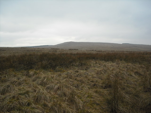
Rough Pasture
With view to Levenseat
 Map © Crown Copyright")
TIP: Click the map for more Large scale mapping
- Grid Square
- NS9558, 21 images (more nearby 🔍)
- Photographer
- Jim Smillie (more nearby)
- Date Taken
- Thursday, 3 March, 2011 (more nearby)
- Submitted
- Wednesday, 9 March, 2011
- Subject Location
-
OSGB36:
 NS 952 581 [100m precision]
WGS84: 55:48.2874N 3:40.3265W - Camera Location
-
OSGB36: NS 955 582
- View Direction
- West-southwest (about 247 degrees)