2011
TM2649 : Collett's Walk footpath to B1079 Grunsburgh Road
taken 13 years ago, near to Woodbridge, Suffolk, England
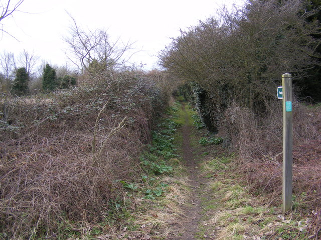
Collett's Walk footpath to B1079 Grunsburgh Road
Off the A12 Woodbridge Bypass
 Map © Crown Copyright")
TIP: Click the map for more Large scale mapping
- Grid Square
- TM2649, 204 images (more nearby 🔍)
- Photographer
- Geographer (more nearby)
- Date Taken
- Friday, 11 March, 2011 (more nearby)
- Submitted
- Friday, 11 March, 2011
- Subject Location
-
OSGB36:
 TM 26007 49192 [1m precision]
WGS84: 52:5.6931N 1:17.8831E - Camera Location
-
OSGB36: TM 26013 49190
- View Direction
- West-northwest (about 292 degrees)