2011
SD8912 : Rochdale: Two more defunct pubs
taken 13 years ago, near to Rochdale, England
This is 1 of 32 images, with title starting with Rochdale in this square
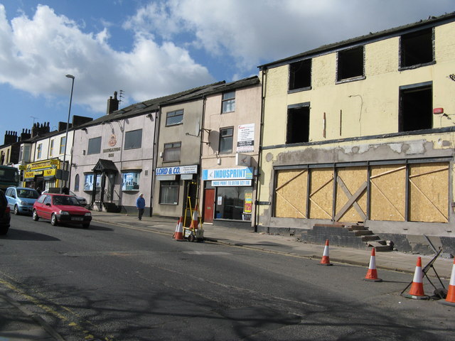
Rochdale: Two more defunct pubs
On Drake Street, near the top of Maclure Road. The left hand pub was the 'Nevigation' and the name is still displayed. The other one, now quite derelict, was the 'Woolpack'.
 Map © Crown Copyright")
TIP: Click the map for more Large scale mapping
- Grid Square
- SD8912, 238 images (more nearby 🔍)
- Photographer
- Dr Neil Clifton (more nearby)
- Date Taken
- Friday, 18 March, 2011 (more nearby)
- Submitted
- Sunday, 20 March, 2011
- Subject Location
-
OSGB36:
 SD 897 128 [100m precision]
WGS84: 53:36.7475N 2:9.3933W - Camera Location
-
OSGB36: SD 897 128
- View Direction
- Northwest (about 315 degrees)