2011
SN8469 : The Monks' Trod on Waun Bryn-hir
taken 13 years ago, near to Blaen Rhestr [other Features], Powys, Great Britain
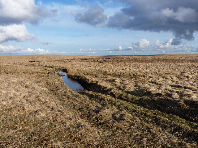
The Monks' Trod on Waun Bryn-hir
One of the large, deep pools in the track of the roadway, created by the passage of large 4x4s for which the track was not constructed, and the ground is not suitable.
 Map © Crown Copyright")
TIP: Click the map for more Large scale mapping
- Grid Square
- SN8469, 13 images (more nearby 🔍)
- Photographer
- Richard Law (more nearby)
- Date Taken
- Saturday, 2 April, 2011 (more nearby)
- Submitted
- Wednesday, 6 April, 2011
- Subject Location
-
OSGB36:
 SN 847 691 [100m precision]
WGS84: 52:18.5161N 3:41.5037W - Camera Location
-
OSGB36: SN 846 692
- View Direction
- East-southeast (about 112 degrees)