TR3358 : Footpath junction near the River Stour
taken 13 years ago, near to Sandwich, Kent, England
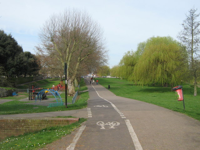
The Saxon Shore Way starts at Gravesend, Kent and traces the coast as it was in the Roman times as far as Hastings in East Sussex, 163 miles (262 km) in total. The Saxon Shore Way was originally opened in 1980, but has since been re-established, and in parts re-routed and extended. It follows the coastline of the South East as it was about 1500 years ago, long before the North Kent Marshes or the Romney Marsh came into existence. The Way takes its name, The Saxon Shore, from a line of fortifications built along the coastline as it was in the 3rd Century AD.
National Route 1 of the National Cycle Network is a long distance cycle route connecting Dover and the Shetland Islands mainly via the east coast of England and Scotland. The route is all signed and open except between London and Woodbridge (in Suffolk) and between Whitby and Staithes (in Yorkshire).
The Stour Valley Walk is a 58 mile (93km) route through the Low Weald and North Downs, giving you access to some the most attractive parts of East Kent. Rolling grassland, woods, marshes, peat bog, orchards and picturesque villages make this a memorable journey which can be completed over a long weekend or in shorter sections. The symbol of the Stour Valley Walk is the heron.
See Linkfor more details.
 Map © Crown Copyright")
- Grid Square
- TR3358, 801 images (more nearby 🔍)
- Photographer
- David Anstiss (more nearby)
- Date Taken
- Sunday, 10 April, 2011 (more nearby)
- Submitted
- Monday, 11 April, 2011
- Subject Location
-
OSGB36:
 TR 334 581 [100m precision]
WGS84: 51:16.4723N 1:20.7739E - Camera Location
-
OSGB36: TR 335 581
- View Direction
- West-northwest (about 292 degrees)