2006
ST1391 : Senghenydd Dyke
taken 18 years ago, near to Llanbradach, Caerphilly/Caerffili, Wales
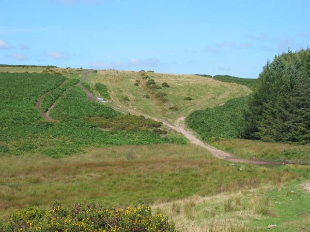
Senghenydd Dyke
The Dyke - the small depression marked by bushes going over the skyline from the centre of the picture was said to have been constructed to mark the boundary of the lands of the lords of Senghenydd. [Anyone who knows more, please add a comment]
 Map © Crown Copyright")
TIP: Click the map for more Large scale mapping
- Grid Square
- ST1391, 9 images (more nearby 🔍)
- Photographer
- John Thorn (more nearby)
- Date Taken
- Friday, 8 September, 2006 (more nearby)
- Submitted
- Friday, 8 September, 2006
- Subject Location
-
OSGB36:
 ST 134 911 [100m precision]
WGS84: 51:36.7227N 3:15.1237W - View Direction
- North-northwest (about 337 degrees)