2011
SJ7993 : Footpath, Stretford Ees
taken 13 years ago, near to Stretford, Trafford, England
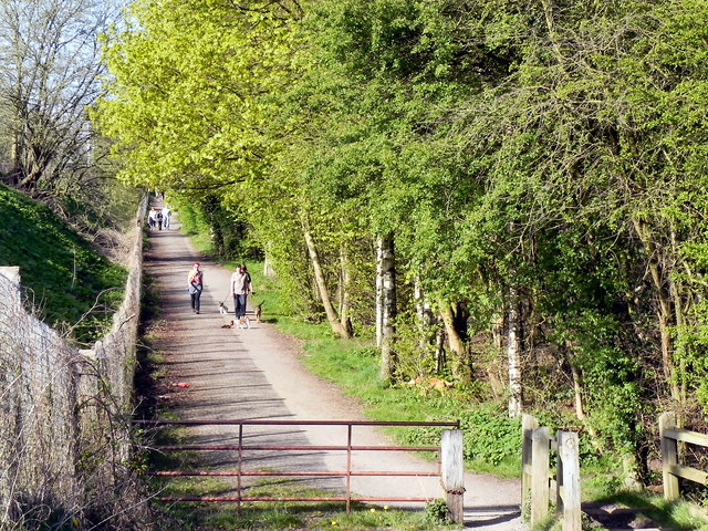
Footpath, Stretford Ees
Footpath at the side of the Metrolink tramway at Stretford Ees.
"Ees" is an archaic English term for a piece of land liable to flood, or water meadow. It is still used locally in Greater Manchester to indicate former water meadows and flood basins adjoining the River Mersey: Chorlton Ees, Sale Ees and Stretford Ees. Link
"Ees" is an archaic English term for a piece of land liable to flood, or water meadow. It is still used locally in Greater Manchester to indicate former water meadows and flood basins adjoining the River Mersey: Chorlton Ees, Sale Ees and Stretford Ees. Link
 Map © Crown Copyright")
TIP: Click the map for more Large scale mapping
- Grid Square
- SJ7993, 158 images (more nearby 🔍)
- Photographer
- David Dixon (more nearby)
- Date Taken
- Sunday, 10 April, 2011 (more nearby)
- Submitted
- Thursday, 14 April, 2011
- Subject Location
-
OSGB36:
 SJ 796 934 [100m precision]
WGS84: 53:26.2226N 2:18.4793W - Camera Location
-
OSGB36: SJ 796 933
- View Direction
- North-northeast (about 22 degrees)