2011
SE2138 : Low Hall Road
taken 13 years ago, near to Rawdon, Leeds, England
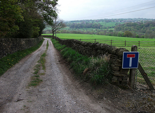
Low Hall Road
A farm access road and public footpath looking from its junction with Woodlands Drive.
 Map © Crown Copyright")
TIP: Click the map for more Large scale mapping
- Grid Square
- SE2138, 70 images (more nearby 🔍)
- Photographer
- michael ely (more nearby)
- Date Taken
- Friday, 15 April, 2011 (more nearby)
- Submitted
- Saturday, 16 April, 2011
- Subject Location
-
OSGB36:
 SE 217 381 [100m precision]
WGS84: 53:50.3653N 1:40.3028W - Camera Location
-
OSGB36: SE 216 382
- View Direction
- South-southeast (about 157 degrees)