2011

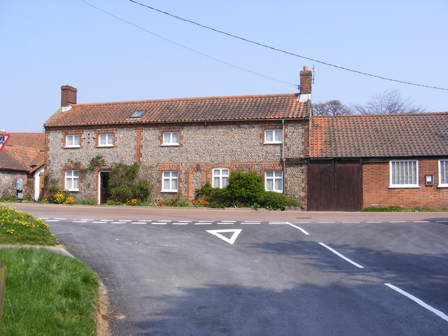
TG2536 : Long Lane, Southrepps

taken 13 years ago, near to Upper Street, Norfolk, England

This is 1 of 3 images, with title Long Lane, Southrepps in this square
Long Lane, Southrepps
At the junction with High Street

Creative Commons Licence [Some Rights Reserved]   © Copyright Geographer and licensed for reuse under this Creative Commons Licence.
Geographical Context: Roads, Road transport Near: Upper Street At: Southrepps Primary Subject: Road Junction Category: Road Junction > Road junction other tags: High Street Long Lane Click a tag, to view other nearby images.
This photo is linked from: Automatic Clusters: · Street at the Junction [19] · Junction with High Street [13] · Long Lane [11] Title Clusters: · Long Lane, Southrepps [3] ·
1:50,000 Modern Day Landranger(TM) Map © Crown Copyright
+
+
1:50,000 Modern Day Landranger(TM) Map © Crown Copyright
TIP: Click the map for more Large scale mapping
Grid Square
TG2536, 130 images   (more nearby 🔍)
Photographer
Geographer   (more nearby)
Date Taken
Monday, 18 April, 2011   (more nearby)
Submitted
Tuesday, 19 April, 2011
Subject Location
OSGB36: geotagged! TG 2545 3661 [10m precision]
WGS84: 52:52.7805N 1:20.9435E
Camera Location
OSGB36: geotagged! TG 2545 3660
View Direction
North-northeast (about 22 degrees)
Clickable map
+
NW N NE
W Go E
SW S SE
Image classification(about): Geograph
This page has been viewed about 63 times
You are not logged in login | register