2011
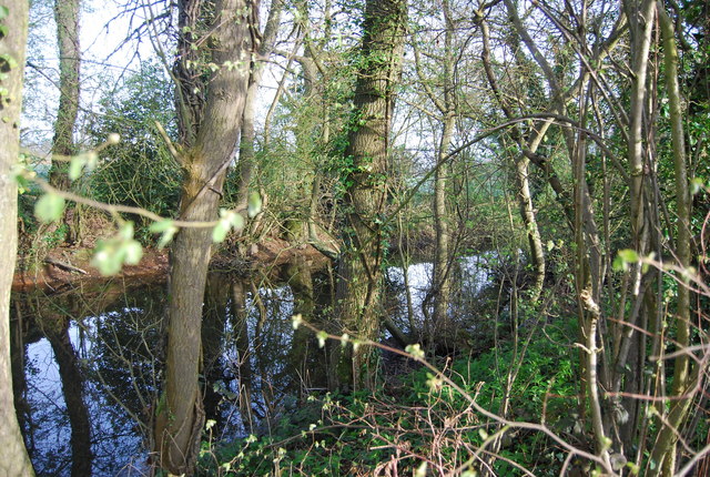
TQ0436 : Wey and Arun Canal by Alfold Rd
taken 13 years ago, near to Alfold Crossways, Surrey, England

Wey and Arun Canal by Alfold Rd
The Wey and Arun Canal is a 23-mile-long canal in the south of England, between the River Wey at Shalford, Surrey and the River Arun at Pallingham, in West Sussex.
Passing through a rural landscape, there was little freight traffic to justify its continued existence, and the canal was officially abandoned in 1871.
Without maintenance, the canal gradually became derelict over much of its length. However, since 1970, active restoration by The Wey & Arun Canal Trust has resulted in several miles of the waterway being restored to navigable standard. Work is continuing, with the ultimate aim of re-opening the entire canal to navigation.
Link
Part of the River Wey navigations. Link Link
Link
See other images of Wey and Arun Canal
Passing through a rural landscape, there was little freight traffic to justify its continued existence, and the canal was officially abandoned in 1871.
Without maintenance, the canal gradually became derelict over much of its length. However, since 1970, active restoration by The Wey & Arun Canal Trust has resulted in several miles of the waterway being restored to navigable standard. Work is continuing, with the ultimate aim of re-opening the entire canal to navigation.
Link
Part of the River Wey navigations. Link
See other images of Wey and Arun Canal
