2011
TQ2880 : Junction of Park Street and North Row, Mayfair
taken 13 years ago, near to Marylebone, Westminster, England
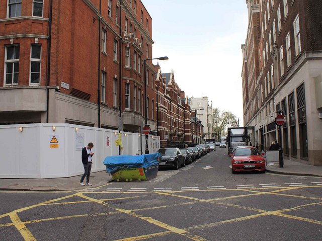
Junction of Park Street and North Row, Mayfair
Looking WSW up North Row from the junction with Park Street.
 Map © Crown Copyright")
TIP: Click the map for more Large scale mapping
- Grid Square
- TQ2880, 1924 images (more nearby 🔍)
- Photographer
- David P Howard (more nearby)
- Date Taken
- Sunday, 17 April, 2011 (more nearby)
- Submitted
- Monday, 25 April, 2011
- Subject Location
-
OSGB36:
 TQ 2806 8096 [10m precision]
WGS84: 51:30.7836N 0:9.3565W - Camera Location
-
OSGB36: TQ 2808 8097
- View Direction
- West-southwest (about 247 degrees)