2011
SD9949 : Following footpath between High Bradley and Snaygill
taken 13 years ago, near to Low Bradley, North Yorkshire, England
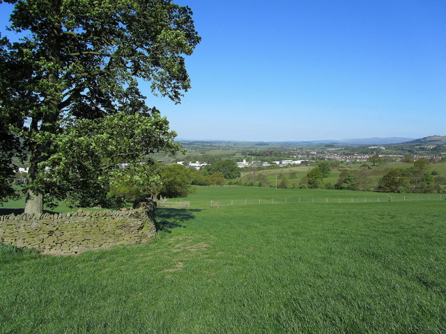
Following footpath between High Bradley and Snaygill
Not very visible on the ground, but the map indicates a right of way passing the edge of this field between High Bradley and Snaygill, on the south side of Skipton.
 Map © Crown Copyright")
TIP: Click the map for more Large scale mapping
- Grid Square
- SD9949, 94 images (more nearby 🔍)
- Photographer
- Chris Heaton (more nearby)
- Date Taken
- Monday, 2 May, 2011 (more nearby)
- Submitted
- Monday, 2 May, 2011
- Subject Location
-
OSGB36:
 SD 998 496 [100m precision]
WGS84: 53:56.5722N 2:0.2538W - Camera Location
-
OSGB36: SD 998 496
- View Direction
- Northwest (about 315 degrees)