2011
SK2167 : Rural Council Housing - Moorhall
taken 13 years ago, near to Bakewell, Derbyshire, England
This is 1 of 2 images, with title Rural Council Housing - Moorhall in this square
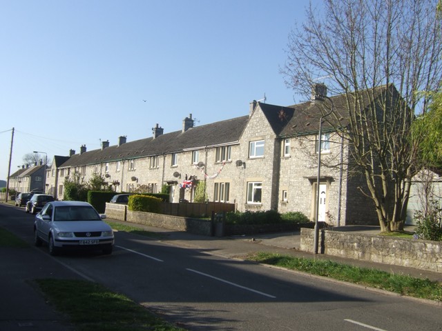
Rural Council Housing - Moorhall
Inter war council housing above Bakewell. The long terraced block and porch canopies are typical for the period. Similar to properties on Yeld Road.
 Map © Crown Copyright")
TIP: Click the map for more Large scale mapping
- Grid Square
- SK2167, 69 images (more nearby 🔍)
- Photographer
- John M (more nearby)
- Date Taken
- Monday, 2 May, 2011 (more nearby)
- Submitted
- Wednesday, 4 May, 2011
- Subject Location
-
OSGB36:
 SK 215 679 [100m precision]
WGS84: 53:12.4912N 1:40.7729W - Camera Location
-
OSGB36: SK 215 679
- View Direction
- South-southeast (about 157 degrees)