2011
SU1194 : Confluence of the Ampney Brook
taken 13 years ago, near to Cricklade, Wiltshire, England
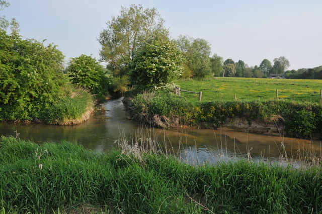
Confluence of the Ampney Brook
The confluence of the Ampney Brook with the River Thames downstream from Cricklade.
 Map © Crown Copyright")
TIP: Click the map for more Large scale mapping
- Grid Square
- SU1194, 33 images (more nearby 🔍)
- Photographer
- Philip Halling (more nearby)
- Date Taken
- Saturday, 30 April, 2011 (more nearby)
- Submitted
- Thursday, 5 May, 2011
- Subject Location
-
OSGB36:
 SU 112 940 [100m precision]
WGS84: 51:38.7299N 1:50.3546W - Camera Location
-
OSGB36: SU 112 940
- View Direction
- North-northwest (about 337 degrees)