2011
NT9561 : Road to Partanhall
taken 13 years ago, near to Burnmouth, Scottish Borders, Scotland
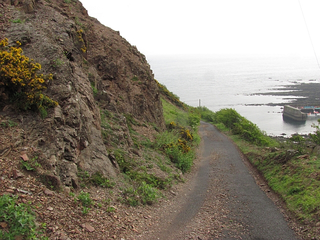
Road to Partanhall
A narrow private road beneath crumbling crags.
 Map © Crown Copyright")
TIP: Click the map for more Large scale mapping
- Grid Square
- NT9561, 124 images (more nearby 🔍)
- Photographer
- Richard Webb (more nearby)
- Date Taken
- Saturday, 7 May, 2011 (more nearby)
- Submitted
- Saturday, 7 May, 2011
- Subject Location
-
OSGB36:
 NT 956 610 [100m precision]
WGS84: 55:50.5695N 2:4.2813W - Camera Location
-
OSGB36: NT 955 610
- View Direction
- East-northeast (about 67 degrees)