1977
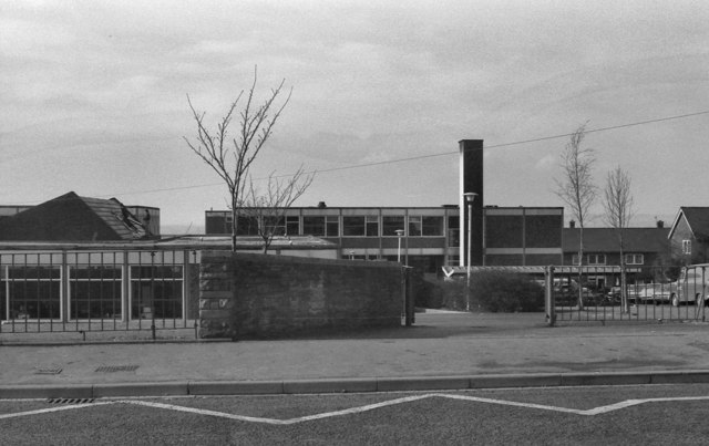
SD8310 : Sutherland High School
taken 47 years ago, near to Heywood, Rochdale, England
This is 1 of 3 images, with title Sutherland High School in this square

Sutherland High School
The high school, on Sutherland Road at Darnhill, was opened in 1966. Its name was changed to Heywood Community School in the 1990s. Closed in June 2010 (Link (Archive Link
 ) - Heywood Advertiser and Link
 - BBC Education), it was demolished during the winter of 2010-11.
This photograph was taken from in front of one of the high rise tower blocks (cf SD8310 : Sutherland High School, taken from the top of the same block)
This photograph was taken from in front of one of the high rise tower blocks (cf SD8310 : Sutherland High School, taken from the top of the same block)
See other images of Heywood Community/Sutherland High School Site
