2011
TM3266 : Low Road, Bruisyard & footpath to Church Road
taken 13 years ago, near to Bruisyard, Suffolk, England
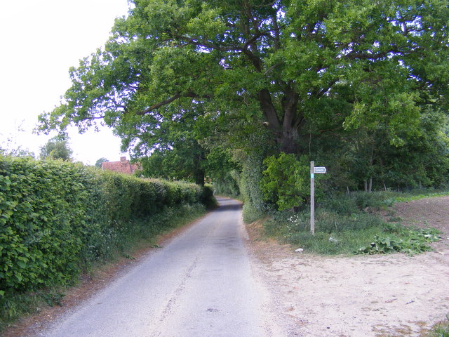
Low Road, Bruisyard & footpath to Church Road
Looking towards Church Road
Bruisyard footpath no.4 leading to Bruisyard footpath no.3
Bruisyard footpath no.4 leading to Bruisyard footpath no.3
 Map © Crown Copyright")
TIP: Click the map for more Large scale mapping
- Grid Square
- TM3266, 88 images (more nearby 🔍)
- Photographer
- Geographer (more nearby)
- Date Taken
- Tuesday, 24 May, 2011 (more nearby)
- Submitted
- Tuesday, 24 May, 2011
- Subject Location
-
OSGB36:
 TM 3227 6600 [10m precision]
WGS84: 52:14.5883N 1:24.0484E - Camera Location
-
OSGB36: TM 3227 6600
- View Direction
- Northwest (about 315 degrees)