2011
M0557 : Upper Mask Bay
taken 13 years ago, 4 km ESE of Finny, Co Mayo, Ireland
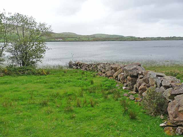
Upper Mask Bay
For all practical purposes, Upper Mask Bay can be considered as a lough separate from Lough Mask. Seven kilometres long and a little over one kilometre wide, it narrows to a channel only 15 metres wide where it enters the main body of Lough Mask, and there is a strong current through the channel.
Loading map... (JavaScript required)
- Grid Square
- M0557 (more nearby 🔍)
- Photographer
- Oliver Dixon (more nearby)
- Date Taken
- Tuesday, 10 May, 2011 (more nearby)
- Submitted
- Wednesday, 25 May, 2011
- Subject Location
-
Irish:
 M 051 578 [100m precision]
WGS84: 53:33.7361N 9:25.8943W - Camera Location
-
Irish: M 051 577
- View Direction
- North-northeast (about 22 degrees)