2011
TQ3664 : LOOP, Shirley Heath
taken 13 years ago, near to Addington, Croydon, England
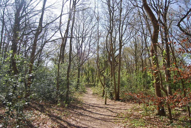
LOOP, Shirley Heath
Spring Park Wood :: TQ3764
Spring Park is remnant ancient woodland and meadowland now within the West Wickham and Coulsdon Commons group managed by the Corporation of London. Once part of the much larger West Wickham manorial estate, owned by the Lennard family from the C16th, the site was conveyed to the Corporation in 1926 and 1927 to be held in perpetuity as public open space.
London Outer Orbital Path (LOOP)
Starting at the Thames at Erith and finishing on the opposite north bank at Coldharbour, the Loop (London Outer Orbital Path) is 150 miles long, passing through numerous woods, commons and parks and on waterside paths alongside the Grand Union Canal and London rivers such as the Colne, Crane, Cray, Darent and Ingrebourne.
 Map © Crown Copyright")
TIP: Click the map for more Large scale mapping
- Grid Square
- TQ3664, 42 images (more nearby 🔍)
- Photographer
- N Chadwick (more nearby)
- Date Taken
- Saturday, 9 April, 2011 (more nearby)
- Submitted
- Friday, 27 May, 2011
- Subject Location
-
OSGB36:
 TQ 368 647 [100m precision]
WGS84: 51:21.9259N 0:2.1621W - Camera Location
-
OSGB36: TQ 368 647
- View Direction
- West-southwest (about 247 degrees)