2011
TM3050 : Bus Shelter on the A1152 Orford Road
taken 13 years ago, near to Bromeswell, Suffolk, England
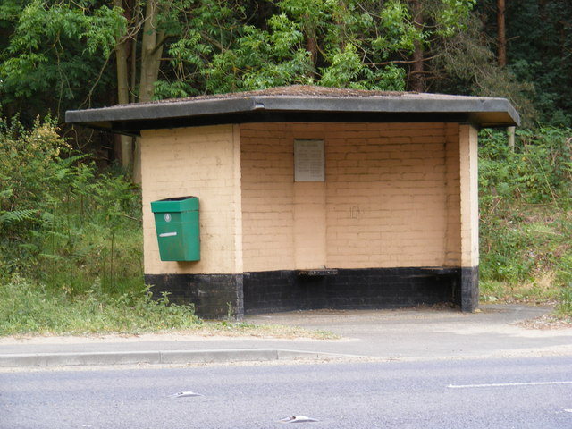
Bus Shelter on the A1152 Orford Road
Near the junction with School Lane
 Map © Crown Copyright")
TIP: Click the map for more Large scale mapping
- Grid Square
- TM3050, 123 images (more nearby 🔍)
- Photographer
- Geographer (more nearby)
- Date Taken
- Thursday, 26 May, 2011 (more nearby)
- Submitted
- Saturday, 28 May, 2011
- Subject Location
-
OSGB36:
 TM 30381 50198 [1m precision]
WGS84: 52:6.1267N 1:21.7481E - Camera Location
-
OSGB36: TM 30381 50198
- View Direction
- SOUTH (about 180 degrees)