2011
TR0327 : Field of Wheat
taken 13 years ago, near to Ivychurch, Kent, England
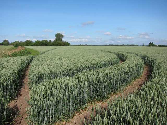
Field of Wheat
Footpath through fields of wheat from St Mary in the Marsh towards Ivychurch.
 Map © Crown Copyright")
TIP: Click the map for more Large scale mapping
- Grid Square
- TR0327, 47 images (more nearby 🔍)
- Photographer
- Oast House Archive (more nearby)
- Date Taken
- Tuesday, 31 May, 2011 (more nearby)
- Submitted
- Tuesday, 31 May, 2011
- Subject Location
-
OSGB36:
 TR 035 276 [100m precision]
WGS84: 51:0.7320N 0:54.0232E - Camera Location
-
OSGB36: TR 035 276
- View Direction
- WEST (about 270 degrees)