2011
SD9521 : Gaddings Drain, Langfield Common
taken 13 years ago, near to Mankinholes, Calderdale, England
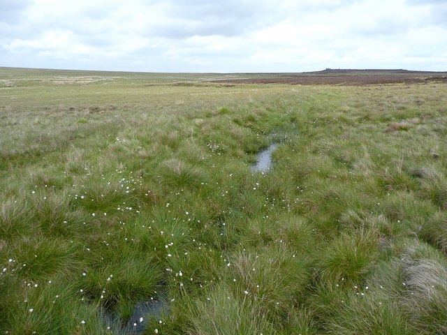
Gaddings Drain, Langfield Common
This collects water from a strip of land below the Warland Drain and takes it to Gaddings Reservoir. However the drain is now very leaky as the bank has given way in several places, and at one point a deep channel through peat crosses it. It has a public footpath on the north side, which I followed eastwards, but eventually turned back as I was getting wet feet!
 Map © Crown Copyright")
TIP: Click the map for more Large scale mapping
- Grid Square
- SD9521, 69 images (more nearby 🔍)
- Photographer
- Humphrey Bolton (more nearby)
- Date Taken
- Friday, 27 May, 2011 (more nearby)
- Submitted
- Tuesday, 31 May, 2011
- Subject Location
-
OSGB36:
 SD 9570 2193 [10m precision]
WGS84: 53:41.6277N 2:3.9958W - Camera Location
-
OSGB36: SD 9570 2193
- View Direction
- East-southeast (about 112 degrees)