2011
SX7881 : Lustleigh: end of the orchard
taken 13 years ago, near to Lustleigh, Devon, England
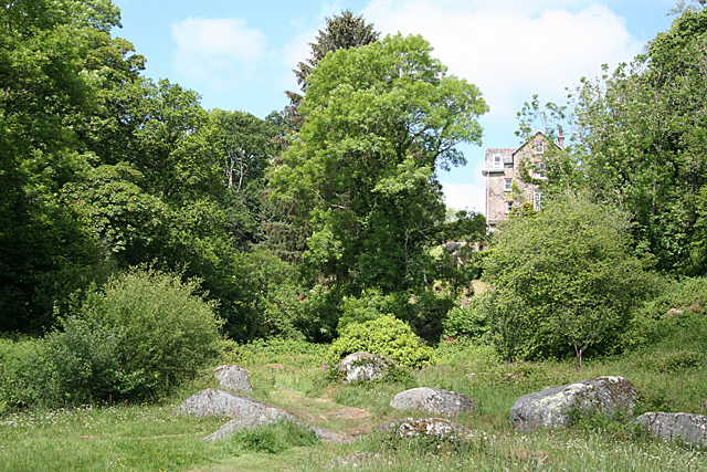
Lustleigh: end of the orchard
A public path runs through this 'orchard' or paddock and leads to Sharpitor and Lustleigh Cleave
 Map © Crown Copyright")
TIP: Click the map for more Large scale mapping
- Grid Square
- SX7881, 287 images (more nearby 🔍)
- Photographer
- Martin Bodman (more nearby)
- Date Taken
- Thursday, 2 June, 2011 (more nearby)
- Submitted
- Friday, 3 June, 2011
- Subject Location
-
OSGB36:
 SX 7827 8125 [10m precision]
WGS84: 50:37.0930N 3:43.3245W - Camera Location
-
OSGB36: SX 7829 8124
- View Direction
- Northwest (about 315 degrees)