2011
NT9542 : Barley field
taken 13 years ago, near to Felkington, Northumberland, England
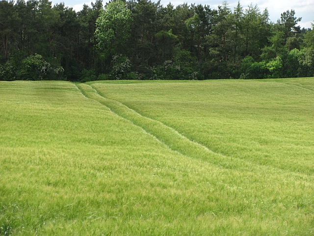
Barley field
Tramlines lead to a long stretch of woodland beside the Dean Burn.
 Map © Crown Copyright")
TIP: Click the map for more Large scale mapping
- Grid Square
- NT9542, 19 images (more nearby 🔍)
- Photographer
- Richard Webb (more nearby)
- Date Taken
- Monday, 30 May, 2011 (more nearby)
- Submitted
- Sunday, 5 June, 2011
- Subject Location
-
OSGB36:
 NT 9567 4277 [10m precision]
WGS84: 55:40.7040N 2:4.2251W - Camera Location
-
OSGB36: NT 9573 4273
- View Direction
- Northwest (about 315 degrees)