2011
SD9622 : Boundary stone, Langfield Common
taken 13 years ago, near to Mankinholes, Calderdale, England
This is 1 of 2 images, with title Boundary stone, Langfield Common in this square
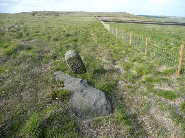
Boundary stone, Langfield Common
For an earlier image see SD9622 : Boundary stone, Red Dykes Flat. The difference is that a fence has now been erected between Langfield Common and Red Dykes Flat, which is in the part of Erringden that was given to Mytholmroyd Urban District, and is now in Hebden Royd civil parish.
 Map © Crown Copyright")
TIP: Click the map for more Large scale mapping
- Grid Square
- SD9622, 59 images (more nearby 🔍)
- Photographer
- Humphrey Bolton (more nearby)
- Date Taken
- Friday, 27 May, 2011 (more nearby)
- Submitted
- Sunday, 5 June, 2011
- Subject Location
-
OSGB36:
 SD 9669 2272 [10m precision]
WGS84: 53:42.0542N 2:3.0968W - Camera Location
-
OSGB36: SD 9669 2272
- View Direction
- Northeast (about 45 degrees)