2011
NZ2114 : Track, Gatehouse Plantation
taken 13 years ago, near to Piercebridge, Darlington, England
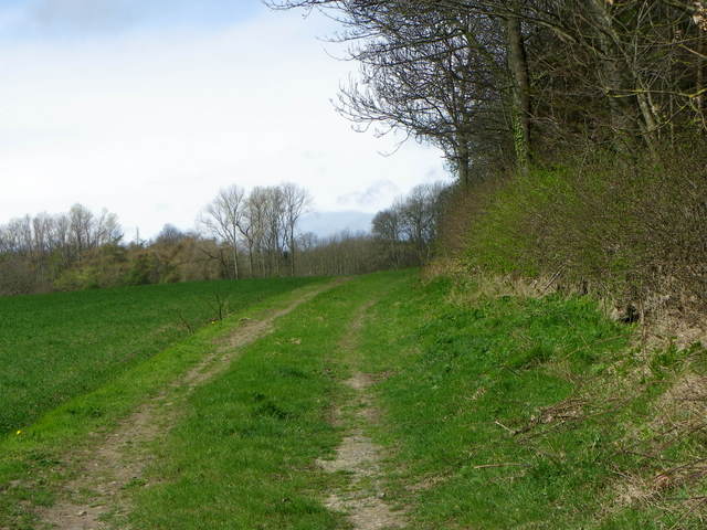
Track, Gatehouse Plantation
The farm track lies between Gatehouse Plantation and arable fields. It is not a public right of way.
 Map © Crown Copyright")
TIP: Click the map for more Large scale mapping
- Grid Square
- NZ2114, 14 images (more nearby 🔍)
- Photographer
- Maigheach-gheal (more nearby)
- Date Taken
- Tuesday, 5 April, 2011 (more nearby)
- Submitted
- Monday, 6 June, 2011
- Subject Location
-
OSGB36:
 NZ 2125 1435 [10m precision]
WGS84: 54:31.4398N 1:40.3921W - Camera Location
-
OSGB36: NZ 21323 14360
- View Direction
- WEST (about 270 degrees)