2011
TQ3268 : Ecclesbourne Road: looking upstream at crossing of Norbury Brook
taken 13 years ago, near to South Norwood, Croydon, England
This is 1 of 2 images, with title Ecclesbourne Road: looking upstream at crossing of Norbury Brook in this square
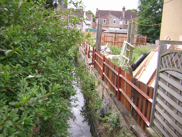
Ecclesbourne Road: looking upstream at crossing of Norbury Brook
This is shot over a high wall: the view of the wall from the road can be seen at TQ3268 : Ecclesbourne Road: looking upstream at crossing of Norbury Brook.
The next crossing upstream is at Swain Road: the view downstream from there can be seen at TQ3267 : Swain Road: looking downstream at the crossing of the Norbury Brook.
The view downstream can be seen in TQ3268 : Ecclesbourne Road: looking downstream at crossing of Norbury Brook and TQ3268 : Ecclesbourne Road: looking downstream at crossing of Norbury Brook.
 Map © Crown Copyright")
TIP: Click the map for more Large scale mapping
- Grid Square
- TQ3268, 285 images (more nearby 🔍)
- Photographer
- Christopher Hilton (more nearby)
- Date Taken
- Friday, 10 June, 2011 (more nearby)
- Submitted
- Friday, 10 June, 2011
- Subject Location
-
OSGB36:
 TQ 3233 6801 [10m precision]
WGS84: 51:23.7421N 0:5.9570W - Camera Location
-
OSGB36: TQ 3233 6801
- View Direction
- Southeast (about 135 degrees)