2011
J2721 : The junction of Island Road with Atticall Road
taken 13 years ago, near to Attical, Co Down, Northern Ireland
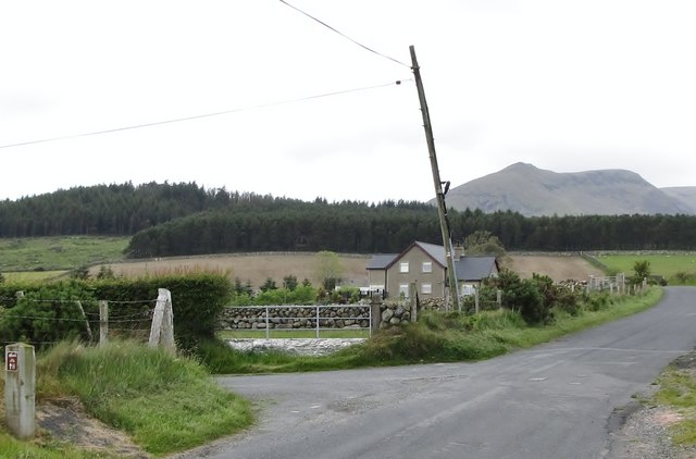
The junction of Island Road with Atticall Road
The wooded knoll in the middle ground is Crocknafeola
Loading map... (JavaScript required)
- Grid Square
- J2721, 27 images (more nearby 🔍)
- Photographer
- Eric Jones (more nearby)
- Date Taken
- Wednesday, 15 June, 2011 (more nearby)
- Submitted
- Wednesday, 15 June, 2011
- Subject Location
-
Irish:
 J 278 210 [100m precision]
WGS84: 54:7.3597N 6:2.6990W - Camera Location
-
Irish: J 278 210
- View Direction
- North-northwest (about 337 degrees)