2011
TQ4851 : Shelter, Village Green, Ide Hill
taken 13 years ago, near to Ide Hill, Kent, England
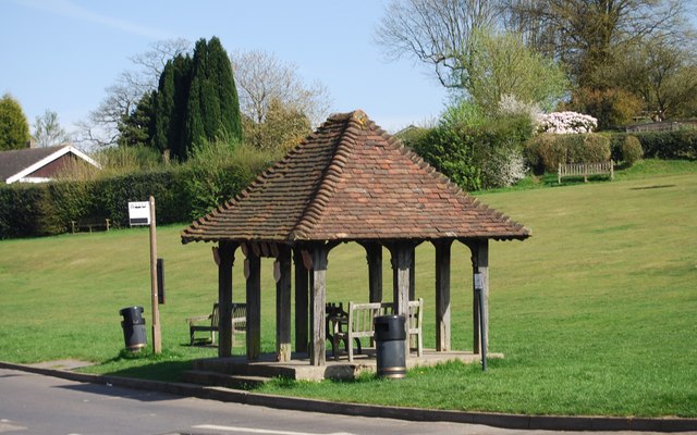
Shelter, Village Green, Ide Hill
Ide Hill is a small village, 5 miles south west of Sevenoaks. It has a 19th century church (the highest in Kent), a pub and a school. The village is sited on one of the highest points of the Greensand ridge. The Greensand Way runs through the village.
See other images of Ide Hill
See other images of Ide Hill
 Map © Crown Copyright")
TIP: Click the map for more Large scale mapping
- Grid Square
- TQ4851, 205 images (more nearby 🔍)
- Photographer
- N Chadwick (more nearby)
- Date Taken
- Sunday, 10 April, 2011 (more nearby)
- Submitted
- Sunday, 19 June, 2011
- Subject Location
-
OSGB36:
 TQ 4862 5182 [10m precision]
WGS84: 51:14.7718N 0:7.6776E - Camera Location
-
OSGB36: TQ 4860 5183
- View Direction
- East-southeast (about 112 degrees)