2011
TQ4209 : Ditch, Railway Land LNR
taken 13 years ago, near to Lewes, East Sussex, England
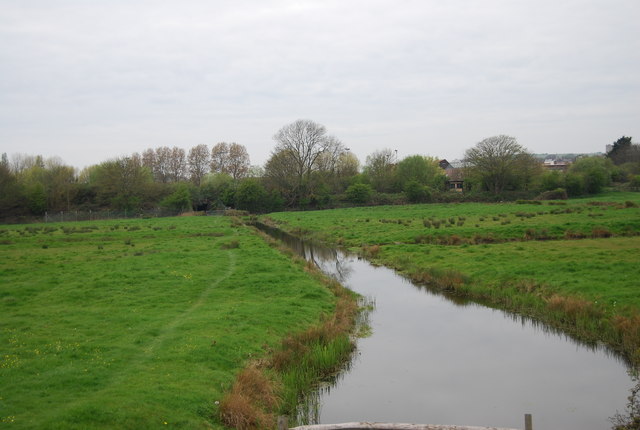
Ditch, Railway Land LNR
Lewes Railway Land LNR was designated an LNR in 1995, and covers approximately 25 acres of land on the flood plain of the river Ouse to the south-east of Lewes, just outside the Sussex Downs Area of Outstanding Natural Beauty (AONB). It consists of a mosaic of habitats, including wet woodland, floodplain grassland, ponds, marshes and drainage ditches. It is located a few minutes walk from Lewes town centre making it an important urban fringe site.
See other images of Lewes Railway Land LNR
See other images of Lewes Railway Land LNR
 Map © Crown Copyright")
TIP: Click the map for more Large scale mapping
- Grid Square
- TQ4209, 212 images (more nearby 🔍)
- Photographer
- N Chadwick (more nearby)
- Date Taken
- Thursday, 14 April, 2011 (more nearby)
- Submitted
- Tuesday, 21 June, 2011
- Subject Location
-
OSGB36:
 TQ 4244 0954 [10m precision]
WGS84: 50:52.0694N 0:1.3710E - Camera Location
-
OSGB36: TQ 4247 0953
- View Direction
- WEST (about 270 degrees)