2011
NH6457 : The Black Isle
taken 13 years ago, near to Belmaduthy, Highland, Scotland
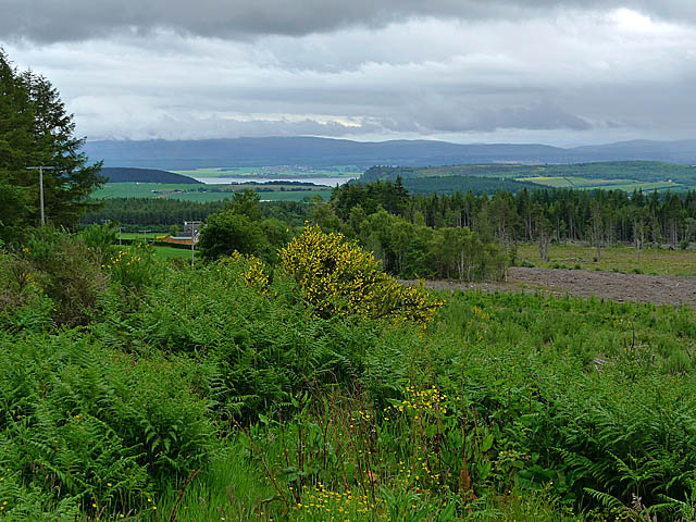
The Black Isle
View south from near Millbuie, with the Moray Firth in the distance. The southern part of Dam Wood SSSI is visible on the right beyond the clear-felled area.
 Map © Crown Copyright")
TIP: Click the map for more Large scale mapping
- Grid Square
- NH6457, 75 images (more nearby 🔍)
- Photographer
- Dr Richard Murray (more nearby)
- Date Taken
- Sunday, 19 June, 2011 (more nearby)
- Submitted
- Sunday, 26 June, 2011
- Subject Location
-
OSGB36:
 NH 644 570 [100m precision]
WGS84: 57:34.9910N 4:16.0964W - Camera Location
-
OSGB36: NH 644 573
- View Direction
- SOUTH (about 180 degrees)